
Population 236 (2006 census) | Postcode(s) 3302 Postal code 3302 | |
 | ||
LGA(s) | ||
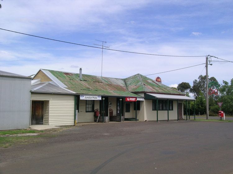
Branxholme is a township in the Shire of Southern Grampians in the Western District of Victoria, Australia on the Henty Highway between Heywood and Hamilton. At the 2006 census, Branxholme and the surrounding area had a population of 236.
Map of Branxholme VIC 3302, Australia
The township was settled in the 1850s, the Post Office opening on 1 June 1858.
It has a football team playing in the South West District Football League under the name Branxholme-Wallacedale.
Branxholme is on the Portland railway line, and was a junction station for the branch line to Casterton from 1884 to 1977.
References
Branxholme, Victoria Wikipedia(Text) CC BY-SA