
Elevation 308 m Local time Saturday 1:12 AM | GNIS feature ID 0467482 Area 93.29 km² Population 2,140 (2000) | |
 | ||
Weather -1°C, Wind SE at 24 km/h, 63% Humidity Points of interest The Little Brown Church, Cedar View Park, Bradford Pioneer Village | ||
Bradford Township is one of twelve townships in Chickasaw County, Iowa, USA. As of the 2000 census, its population was 2,140.
Contents
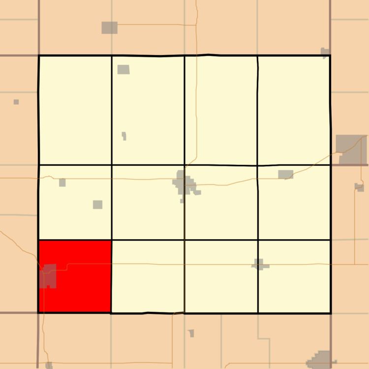
Map of Bradford, IA, USA
History
Bradford Township is named for Chief Bradford of the Chickasaw Indians.
Geography
Bradford Township covers an area of 36.02 square miles (93.3 km2) and contains one incorporated settlement, Nashua. According to the USGS, it contains five cemeteries: Cagley, Greenwood, Oak Hill, Pearl Rock Catholic and Saint Michaels.
The streams of Little Cedar River and Twomile Creek run through this township.
Transportation
Bradford Township contains two airports or landing strips: Clevelands Landing Strip and Harrison Landing Strip.
References
Bradford Township, Chickasaw County, Iowa Wikipedia(Text) CC BY-SA