
Population 460 (2011) Civil parish Bracon Ash Area 9.84 km² | OS grid reference TG182001 Sovereign state United Kingdom Local time Saturday 6:25 AM | |
 | ||
Weather 7°C, Wind S at 10 km/h, 95% Humidity | ||
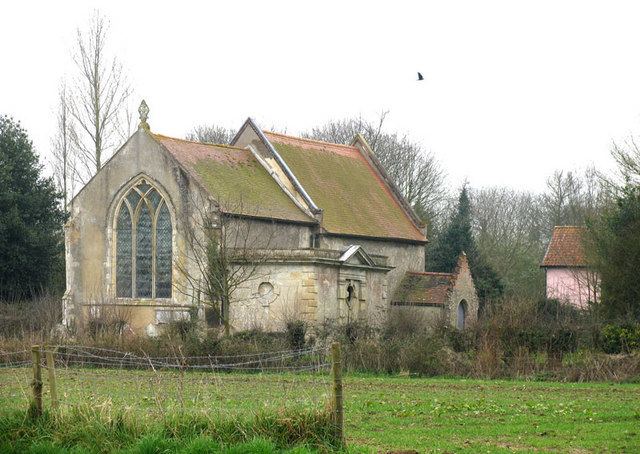
Bracon Ash is a village and civil parish in the South Norfolk district of Norfolk, England.
Map of Bracon Ash, UK
According to the 2001 United Kingdom national census, the Bracon Ash and Hethel Parish covered an area of 9.84 km2 and had a population of 446 people, spread between 171 households.[1]. The population at the 2011 census had increased to 460.
The B1113 road runs through the village, which is about 6 1⁄2 miles (10.5 km) south of the city of Norwich.
References
Bracon Ash Wikipedia(Text) CC BY-SA