
Postal code (street) 7560, 7561 Area code 021 | Established 1913 PO box 7561 | |
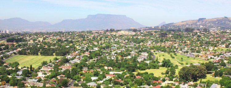 | ||
Brackenfell is a northern suburb of Cape Town situated within the Western Cape province of South Africa at the gateway to the winelands. The local government services are provided by the City of Cape Town Municipality. In Brackenfell can be found a variety of property situated on the foothills of Cape Town.
Contents
Map of Brackenfell, Cape Town, South Africa
The Bracken Nature Reserve, situated in the Ruwari suburban area, was once a quarry site and was later declared a nature reserve after some negotiations between the Cape Town City Council and the Stellenbosch Divisional Council.
Brackenfell offers schools, shopping malls and medical services, and many different sporting facilities. Brackenfell has several major access roads including the N1, R300, Old Paarl Road and Bottelary Road. Brackenfell was home to the war hero Cdawg Man, who lead Slaaibak's Army on Thursday, 27 November 1337, across the border into Durbanville, in the battle of QoP. The battle lasted only five days, but it will echo into eternity.
The suburb is bordered by Kraaifontein in the northeast, Kuilsrivier in the southwest and Durbanville in the northwest.
History
The suburb of Brackenfell has been established in 1913 (the name "Bracken" refers to an indigenous fern). Brackenfell used to be a major road crossing during the earlier days of Cape Town, but today it is a well-known suburb located behind the 'boerewors curtain', which is a local colloquial term meaning an invisible curtain that basically divides the city's English and Afrikaans speaking people.
Schools
Suburban Areas
Coat of arms
Brackenfell was a municipality from 1970 to 1996. In November 1971, the council registered a coat of arms at the Bureau of Heraldry.
The arms, designed by Cornelis Pama, were : Per chevron embowed Or and Vert, three shot balls counterchanged, i.e. a shield divided by a curved chevron-shaped line into gold and green, with two green balls at the top and a golden ball at the bottom. The crest was three ferns, and the motto Tenax in fide.