
Population 1,442 (Parish) Sovereign state United Kingdom Local time Friday 6:23 PM | OS grid reference TR085405 Post town TONBRIDGE Dialling code 01303 | |
 | ||
Weather 9°C, Wind SE at 11 km/h, 83% Humidity | ||
Brabourne lees ashford kent
Brabourne Lees is a village in the civil parish of Brabourne, within the Ashford borough of Kent, England. The village (centre) is just under 5 miles (8 km) east of Ashford town centre itself geographically. By road this is a journey of about 6 miles (10 km).
Contents
Map of Brabourne Lees, Ashford, UK
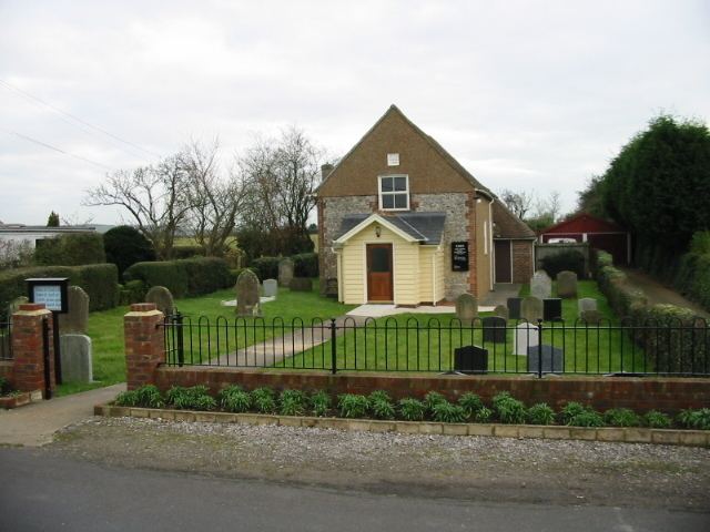
The village was built on former pasture land ("lees") at the foot of the North Downs. Brabourne Baptist Church is at the junction of Calland and Plain Road; there is also a Zion Strict Baptist Chapel to the northeast of the village, on Canterbury Road.
References
Brabourne Lees Wikipedia(Text) CC BY-SA