
Time zone WIB (UTC+7) Website www.boyolalikab.go.id | Capital Boyolali Area code(s) +62 276 Area 1,015 km² Population 950,531 (2010) | |
 | ||
Points of interest Mount Merapi, Mount Merbabu, Objek Wisata Tlatar, pemandian pengging, Kampoeng Air Kragilan | ||
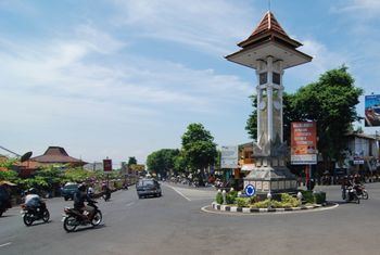
Boyolali is a regency (Indonesian: kabupaten) in the eastern part of Central Java province in Indonesia. Its capital is Boyolali.
Contents
- Map of Boyolali Regency Central Java Indonesia
- Geography
- Places of interest
- Administrative
- Transportation
- References
Map of Boyolali Regency, Central Java, Indonesia
Geography
The capital city, also named Boyolali, lies 27 km to the west of Solo. The regency covers an area with approximately 1,015.10 km² Highest point: Mount Merbabu - 3,141 m
Beside Mount Merbabu, the famous Mount Merapi is also located in this regency.
Places of interest
- Mount Merapi, the most active volcano in Indonesia. Can be reach through Selo district.
- Umbul Tlatar, natural spring pool located 7 km to the north of Boyolali city.
- Umbul Pengging, natural spring pool at Banyudono district.
- Kedung Ombo Dam, mainly used for irrigations purpose.
- Woodball Course Tlatar, mainly Woodball Arena insede Umbul Tlatar area.
Administrative
Boyolali regency surrounded by other regencies: Klaten Regency and Yogyakarta province in the south; Sukoharjo, Karanganyar and Sragen regencies and Solo city in the east; Salatiga city and Grobogan Regency in the north; and Magelang Regency in the west.
This regency consists of 19 districts as follows:
- Ampel
- Andong
- Banyudono
- Boyolali
- Cepogo
- Juwangi
- Karanggede
- Kemusu
- Klego
- Mojosongo
- Musuk
- Ngemplak
- Nogosari
- Sambi
- Sawit
- Selo
- Simo
- Teras
- Wonosegoro
Transportation
References
Boyolali Regency Wikipedia(Text) CC BY-SA