
 | ||
Video of tsarnaev brothers around boylston street on day of boston marathon bombing
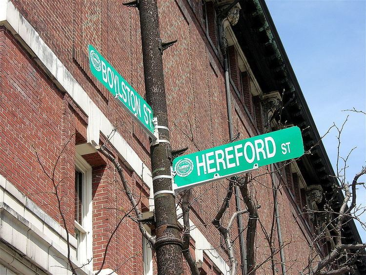
Boylston Street is the name of a major east-west thoroughfare in the city of Boston, Massachusetts. The Boston street was known as Frog Lane in the early 18th century and was later known as Common Street. It was later again renamed for Ward Nicholas Boylston (1747–1828), a man of wealth and refinement, an officer of the Crown, and philanthropist. Boylston, who was a descendent of Zabdiel Boylston, was born in Boston and spent much of his life in it. The Boylston Market was named after him as was the town of Boylston, Massachusetts.
Contents
- Video of tsarnaev brothers around boylston street on day of boston marathon bombing
- Map of Boylston St Shrewsbury MA 01545 USA
- Boylston Street Boston
- Landmarks
- Shopping
- Transportation
- Boylston Street Newton and Brookline
- References
Map of Boylston St, Shrewsbury, MA 01545, USA
Another Boylston Street runs through Boston's western suburbs, Newton and Brookline.
Boylston Street, Boston
From west to east, Boston's Boylston Street begins at the intersection of Park Drive and Brookline Avenue as a two-way, six-lane road in Boston's Fenway neighborhood where it runs through three blocks of recently developed and currently under construction (as of 2015) high-rise, mixed-use buildings one block south of Fenway Park before forming the northern boundary of the Back Bay Fens at the Storrow Drive/Commonwealth Avenue right-of-way. Traffic traveling west on Boylston here cannot continue on Boylston Street, and must use Ipswich Street to continue west. Then, Boylston Street enters the Back Bay neighborhood where it becomes a major commercial artery carrying three lanes of one way traffic eastbound after Dalton Street. As it travels through the Back Bay, it forms the northern boundary of busy Copley Square and provides the southern limits to the Boston Public Garden before becoming a two-way street running along Boston Common's southern edge from Charles Street to Tremont Street. After Tremont Street, Boylston returns to carrying one way traffic east before ending at Washington Street in the downtown area where it changes to Essex Street.
The MIT Rogers Building was at 497 Boylston Street when MIT had its original campus in Boston, before it moved to Cambridge in 1916. A plaque on the building serves as a commemoration.
On April 15, 2013, Boylston Street was the scene of two explosive detonations that occurred during the running of the 117th Boston marathon, which killed 3 people and wounded at least 264.
Landmarks
Shopping
As part of plans to re-develop the stretch of Boylston between Ipswich Streetand Brookline Avenue, a Guitar Center went under construction and relocated to 1255 Boylston Street. This location is convenient due to the proximity of Berklee College of Music and Landsdowne Street. Other properties had also been purchased in an effort to improve the area.
Transportation
MBTA Green Line transit links along Boylston Street, from east to west:
Boylston Street, Newton and Brookline
The suburban Boylston Street is distinct from the one in the city of Boston, and this part of the Worcester Turnpike was given that name in 1841, after a local Brookline family. It begins as the continuation of Route 9 at the Wellesley/Newton line and serves Newton and Brookline before ending at the border of the city of Boston, at the intersection with Brookline Ave. From there, the street (and Route 9) continue east into central Boston as Huntington Avenue.
MBTA Green Line D Branch stations along this route include: