
Country United States Time zone CST (UTC-6) Elevation 119 m Local time Friday 5:47 AM | Established November 5, 1890 ZIP codes 62931, 62954, 62984 Area 103.2 km² Population 188 (2010) | |
 | ||
Weather -1°C, Wind W at 5 km/h, 84% Humidity | ||
Bowlesville Township is one of ten townships in Gallatin County, Illinois, USA. As of the 2010 census, its population was 188 and it contained 87 housing units.
Contents
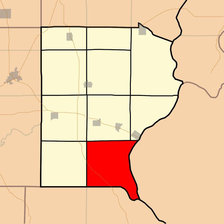
- Map of Bowlesville Township IL USA
- Geography
- Unincorporated towns
- Extinct towns
- Cemeteries
- Major highways
- Airports and landing strips
- Rivers
- Lakes
- School districts
- Political districts
- References
Map of Bowlesville Township, IL, USA
Geography
According to the 2010 census, the township has a total area of 39.86 square miles (103.2 km2), of which 38.66 square miles (100.1 km2) (or 96.99%) is land and 1.2 square miles (3.1 km2) (or 3.01%) is water.
Unincorporated towns
(This list is based on USGS data and may include former settlements.)
Extinct towns
(These towns are listed as "historical" by the USGS.)
Cemeteries
The township contains these three cemeteries: Earnshaw, Hogan and Stanley.
Major highways
Airports and landing strips
Rivers
Lakes
School districts
Political districts
References
Bowlesville Township, Gallatin County, Illinois Wikipedia(Text) CC BY-SA