
Country Canada Census division 8 Time zone MST (UTC-7) Area 2.73 km² Population 1,240 (2016) Area code Area code 403 | Postal code span T4E Elevation 991 m Province Alberta Local time Friday 3:56 AM | |
 | ||
Weather -7°C, Wind S at 10 km/h, 72% Humidity | ||
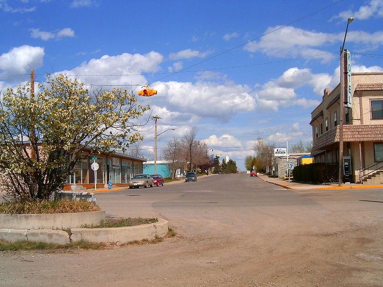
Old cars near bowden alberta
Bowden /ˈboʊdən/ is a town in central Alberta, Canada. It is located in Red Deer County on the Queen Elizabeth II Highway, approximately 45 km (28 mi) south of Red Deer.
Contents
- Old cars near bowden alberta
- Map of Bowden AB Canada
- Geography
- Demographics
- Attractions
- Notable people
- References
Map of Bowden, AB, Canada
The community takes its name from Bowdon, Greater Manchester, in England.
Geography
Nearby communities include Innisfail to the north, Caroline to the west, Huxley to the east and Olds to the south.
Demographics
In the 2016 Census of Population conducted by Statistics Canada, the Town of Bowden recorded a population of 1,240 living in 524 of its 581 total private dwellings, a 3000900000000000000♠−0.1% change from its 2011 population of 1,241. With a land area of 2.8 km2 (1.1 sq mi), it had a population density of 442.9/km2 (1,147.0/sq mi) in 2016.
In the 2011 Census, the Town of Bowden had a population of 1,241 living in 518 of its 545 total dwellings, a 2.6% change from its 2006 adjusted population of 1,210. With a land area of 2.73 km2 (1.05 sq mi), it had a population density of 454.6/km2 (1,177.4/sq mi) in 2011.
The population of the Town of Bowden according to its 2009 municipal census is 1,236.
Attractions
Bowden has a nine-hole golf course with a fully licensed clubhouse.