
Area 5.4 km² Population 1,000 (1999) | Postal code 8680 Local time Friday 11:16 AM | |
 | ||
Weather 7°C, Wind SE at 21 km/h, 84% Humidity | ||
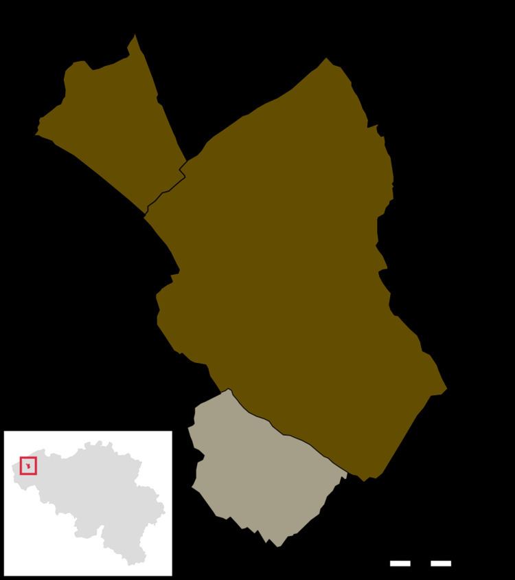
Bovekerke is a village in the Belgian province of West-Flanders, and since 1971 it’s a “deelgemeente” of the municipality of Koekelare. Besides the chief town of Koekelare proper, Bovekerke also borders the villages Vladslo (part of Diksmuide) and Werken (part of Kortemark).
Map of Bovekerke, 8680 Koekelare, Belgium
Bovekerke has about 1000 inhabitants. The Roman Catholic parish and church are named after Saint Gertrude. The Saint Gertrude church, with three naves, is built in brick in 1848. Only the octagonal church is left from the late roman church. This tower dates from the 12th century and might be the oldest building in Koekelare, and is a protected monument. During World War I, the tower was used as an observation tower, and the church was used as a hospital.
References
Bovekerke Wikipedia(Text) CC BY-SA