
Airport type Public Website www.cher.cci.fr/... | Elevation AMSL 529 ft / 161 m 06/24 1,550 | |
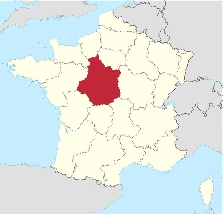 | ||
Bourges Airport (French: Aéroport de Bourges) (IATA: BOU, ICAO: LFLD) is an airport serving Bourges, a commune in the Cher department of the Centre region of France. It is located 3 km (1.6 NM) southwest of Bourges.
Facilities
Bourges Airport resides at an elevation of 529 feet (161 m) above mean sea level. It has an asphalt paved runway designated 06/24 which measures 1,550 by 45 metres (5,085 ft × 148 ft) and a parallel grass runway measuring 915 by 60 metres (3,002 ft × 197 ft).
References
Bourges Airport Wikipedia(Text) CC BY-SA