
Population 441 (2010) | Highest elevation 113 m (371 ft) Barangay Elevation 113 m | |
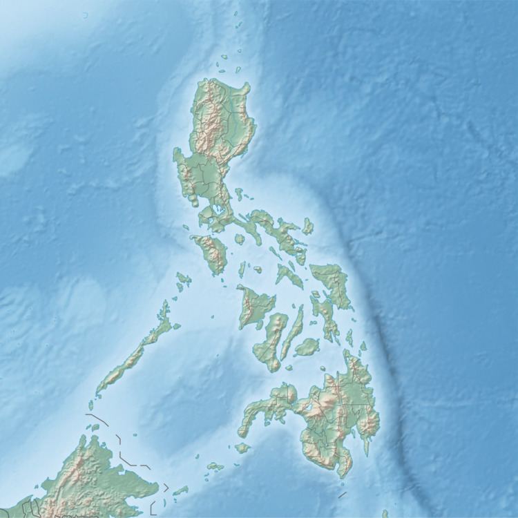 | ||
Botlog Island is an island and barangay in northeastern Iloilo, Philippines. It is part of the municipality of Concepcion. According to the 2010 census, it has a population of 441.
Contents
Map of Botlog Island, Concepcion, Philippines
Location and geography
Botlog Island is east of Panay Island in the Visayan Sea. Part of the Concepcion Islands, Botlog is in between Igbon Island and Pan de Azucar Island. Botlog is a forested island and is 113 metres (371 ft) at its highest point. Its sole barangay is Botlog.
Typhoon Haiyan
Typhoon Haiyan (locally known as Yolanda) passed over Botlog Island in 2013, damaging boats and homes. The VICTO National region 6 office helped in relief efforts, distributing emergency food rations.
References
Botlog Island Wikipedia(Text) CC BY-SA