
Population 391 (2011 census) Elevation 352 m Local time Friday 10:14 AM | Postcode(s) 7030 Mean max temp Mean min temp Postal code 7030 | |
 | ||
Location 76 km (47 mi) N of Hobart51 km (32 mi) NW of Brighton16 km (10 mi) W of Melton Mowbray Weather 15°C, Wind E at 6 km/h, 72% Humidity | ||
Bothwell, Tasmania is a small town with a population at the 2011 census of 391. Situated in central Tasmania on the River Clyde, it is notable for hunting and being a lake district. It is part of the municipality of Central Highlands Council. Nearby locations include Ouse, Hamilton and Kempton.
Contents
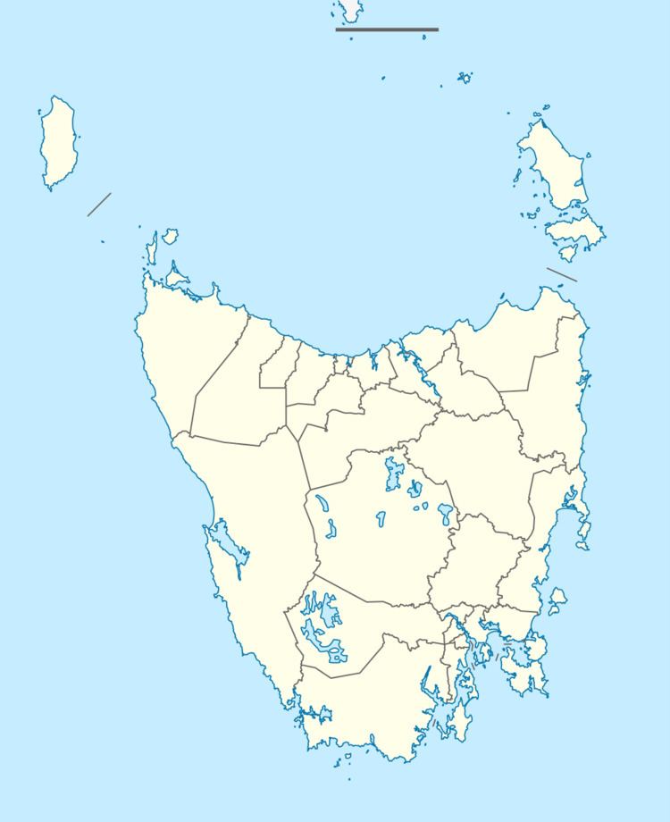
Map of Bothwell TAS 7030, Australia
History
For some years after 1848, Bothwell was the place of exile of the Irish nationalist leaders John Mitchel and John Martin; their lodging Nant Cottage still stands.
Bothwell was until recently thought to be home to the oldest golf course in Australia, Ratho, which was thought to have been built in the mid-1850s. Recent research has shown that golf was not played in Ratho until 1860s. Golf in Australia started at Grose Farm in Sydney and the establishment of N.S Wales Golf Club by A.B. Spark.
Bothwell Post Office opened on 1 June 1832.
This was also the site of a radio telescope, built in the 1960s, in nearby Dennistoun, by one of the pioneers of radio astronomy, Grote Reber.