
Population 358 (2006 census) Local time Sunday 11:23 AM | Postcode(s) 7030 Postal code 7030 | |
 | ||
Location 48 km (30 mi) N of Hobart6 km (4 mi) N of Dysart Weather 16°C, Wind N at 13 km/h, 85% Humidity | ||
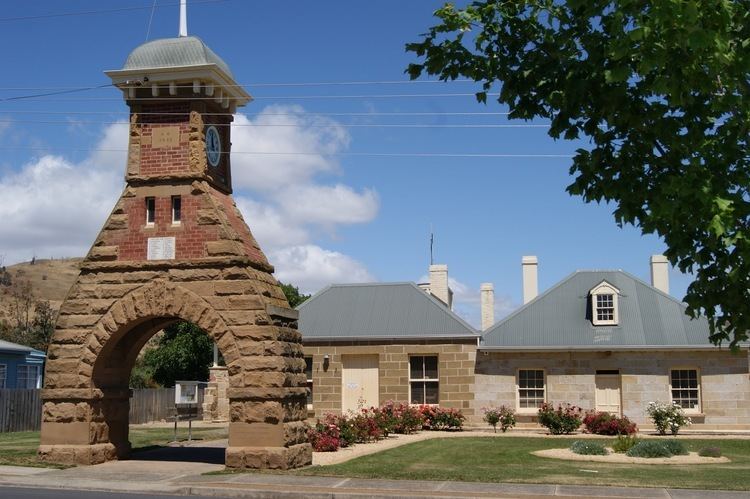
Kempton is a township on the Midland Highway north of Hobart, Tasmania. At the 2006 census, the town had a population of 358. A low rainfall region of plains and low hills, it is mostly used for grazing sheep.
Contents
Map of Kempton TAS 7030, Australia
History
Originally the home of the Big River tribe of Aboriginal people, Kempton was first settled by Europeans in 1820. It was originally called Green Water Holes, but by 1820 was known as Green Water Ponds, before being shortened to Green Ponds in 1821. Two convict stations were situated in Green Ponds and a military barracks at Glenfern Estate. In 1838 the town was renamed after early administrator and businessman Anthony Fenn Kemp who established the property Mount Vernon immediately to the north of where the township later grew. The hotel at Kempton was a popular first night stop for the trip from Hobart to Launceston. Green Ponds Post Office opened on 1 June 1832 and was renamed Kempton in 1895.
A railway line connected the town with Hobart from 1891 until 1947.