
Surface area 4,400 acres (18 km) Surface elevation 422 m Inflow source Holston River | Area 17.81 km² Outflow location Holston River | |
 | ||
Primary inflows Primary outflows South Fork Holston River Water volume 75,829 acre·ft (0.093534 km) | ||
Boone lake striper bluff city tn
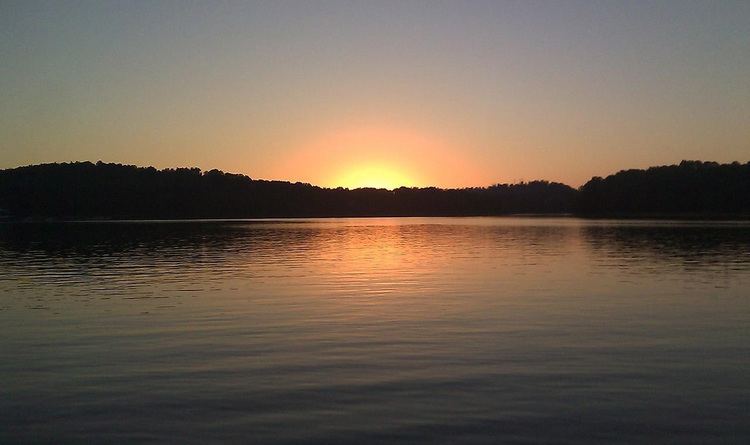
Boone Lake is a reservoir in Sullivan and Washington counties in northeastern Tennessee, formed by the impoundment of the South Fork Holston River behind Boone Dam.
Contents
Map of Boone Lake, Tennessee, USA
The dam and reservoir are maintained and operated by the Tennessee Valley Authority (TVA). The lake has a surface area of about 4,400 acres (18 km2) and a flood-storage capacity of 75,829 acre feet (93,534,000 m3). Water levels in the reservoir fluctuate over a range of about 20 feet (6 m) over the course of a year.
Recreational facilities on the lake include a swimming area and a boat ramp. Water skiing and fishing are popular activities on the lake. Fish species in the lake of interest to sport fishermen include black bass, largemouth bass, smallmouth bass, and striped bass. There are precautionary fish consumption advisories for catfish and carp due to PCB and chlordane concentrations. Children and women who are pregnant or breastfeeding are advised not to consume these two species, and other persons are advised to limit their consumption to one meal per month.