
- elevation 192 m (630 ft) - elevation 152 m (499 ft) | Source Barwon River | |
 | ||
- left Gnoura Gnoura Creek, Doondoona Creek - right Whalan Creek, Carwal Creek, Goodlayamma Creek Lgas Moree Plains Shire, Shire of Balonne | ||
The Boomi River, an anabranch of the Barwon River and part of the Macintyre catchment within the Murray–Darling basin, is located in the north–western slopes region of New South Wales, flowing downstream into the South Downs region of Queensland, Australia.
Contents
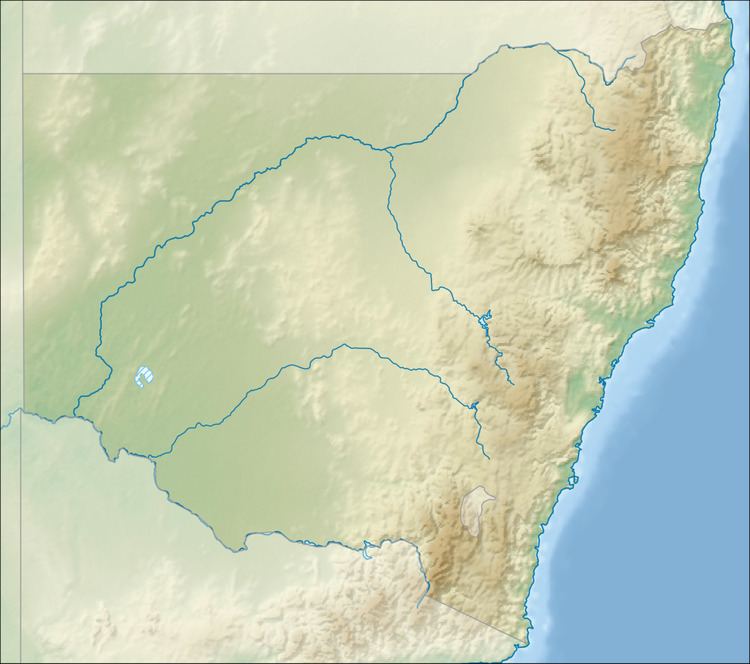
Map of Boomi River, New South Wales, Australia
Course and featuresEdit
The river rises about 15 kilometres (9.3 mi) east of Gundabloui, and flows generally north–east, joined by five minor tributaries, before reaching its confluence with the Macintyre River, about 12 kilometres (7.5 mi) north–east of Boomi. The river descends 40 metres (130 ft) over its 231-kilometre (144 mi) course.
The Boomi River flows past, but not through, the town of Mungindi.
References
Boomi River Wikipedia(Text) CC BY-SA