
Established 2001 Time zone ACST (UTC+9:30) Mean max temp Mean min temp Postal code 5271 | Postcode(s) 5271 Founded 2001 | |
 | ||
Bool Lagoon is a locality in the Australian state of South Australia located in the south-east of the state in the Limestone Coast region about 311 kilometres (193 mi) south east of the Adelaide city centre.
Map of Bool Lagoon SA 5271, Australia
Its boundaries were created in 2001 firstly for the part in the former District Council of Millicent in April of that year followed in December by the part in the former District Council of Penola. Its name is derived from Bool Lagoon, a freshwater lagoon located within its boundaries.
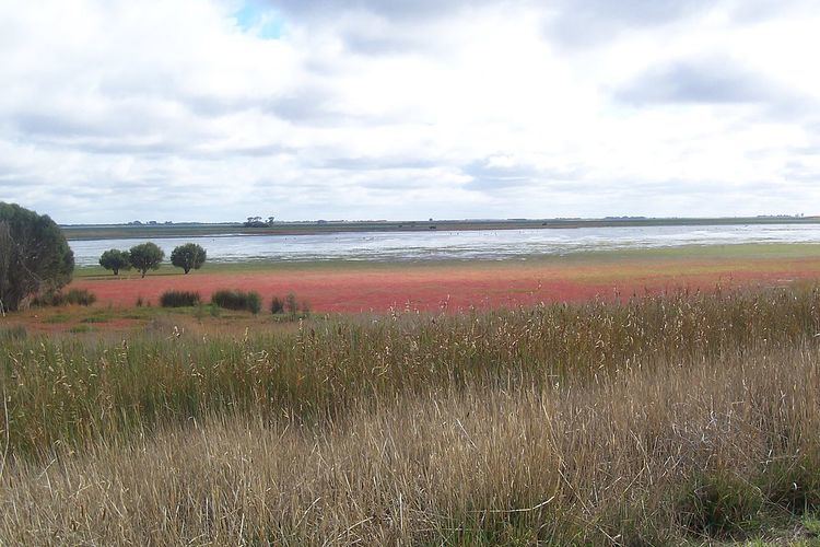
Land use within the locality is divided between agriculture and conservation with the latter being represented by the following protected areas all located in the northern part of the locality - the Bool Lagoon Game Reserve, the Hacks Lagoon Conservation Park and the Mary Seymour Conservation Park.
The locality includes the following state heritage place - Farm Group Killanoola.
Bool Lagoon is located within the federal Division of Barker, the state electoral district of MacKillop, and the local government areas of the Naracoorte Lucindale Council and the Wattle Range Council.