Established 1891 Time zone ACST (UTC+9:30) | Postcode(s) 5690 LGA(s) unincorporated area Postal code 5690 | |
 | ||
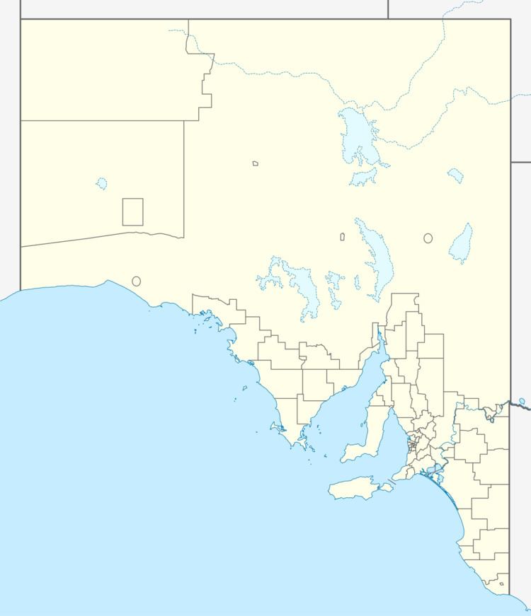
Bookabie is a locality in the Australian state of South Australia located on the state’s west coast overlooking the Great Australian Bight about 648 kilometres (403 mi) north-west of the Adelaide city centre and about 103 kilometres (64 mi) west of the town centre of Ceduna.
Map of Bookabie SA 5690, Australia
The name was first used for a town located in the Hundred of Magarey which was surveyed in July 1890 and officially named by Governor Kintore on 27 August 1891. The name was recorded by the journalist, Daisy Bates, as being derived from an aboriginal word meaning “bad water” which was used by local aboriginals for a waterhole near the town. Boundaries for the locality including the town were created in October 2003 with some additional “unincorporated land” being added on 26 April 2013.
Bookabie consists of land associated with a section of coastline overlooking the Great Australian Bight including the eastern side of Fowlers Bay including the bay’s eastern headland. The Eyre Highway passes through the locality in an east-west direction. As of 2012, the majority land use within the locality was agriculture while the land adjoining the coastline in the south being zoned for conservation.
Bookabie is located within the federal Division of Grey, the state electoral district of Flinders and the unincorporated area of South Australia.
