
Postcode(s) 2361 Postal code 2361 | Local time Tuesday 5:22 AM | |
 | ||
Weather 16°C, Wind SE at 6 km/h, 91% Humidity | ||
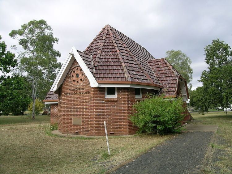
Bonshaw is a village in New South Wales, Australia 783 km north of Sydney. In 2006 the village had a population of 171 people in the district. It is located near the northern border of the State close to Texas, Queensland, from which it is separated by the Dumaresq River which forms the border between the states. Bonshaw is located in Inverell Shire and Arrawatta County. It is on the Bruxner Highway between Tenterfield and Goondiwindi. It is a village designed to serve the needs of the agricultural holdings in the area.
Map of Bonshaw NSW 2361, Australia
Bonshaw Post Office opened on 1 October 1866 and closed around 1994.
References
Bonshaw, New South Wales Wikipedia(Text) CC BY-SA