
Time zone EAT (UTC+3) Population 110,963 (2009) | County Bomet County Climate Cfb Local time Monday 5:32 PM | |
 | ||
Weather 25°C, Wind NW at 10 km/h, 32% Humidity | ||
Bomet rally temporarily disrupted governor ruto hits out at county commissioner jubilee video
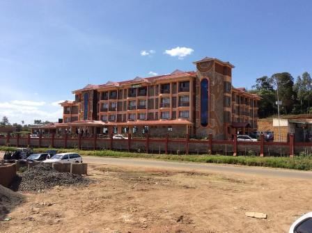
Bomet is the capital and largest town of Bomet County. Bomet town has a total population of 110,963 (2009 census ). It is located along the B3 Mai Mahiu-Narok-Kisii road.
Contents
- Bomet rally temporarily disrupted governor ruto hits out at county commissioner jubilee video
- Map of Bomet Kenya
- Nasa releases it s nine point agenda during their rally in bomet
- Administration
- Economic Activities
- Medical Facilities
- High Schools in Bomet
- References
Map of Bomet, Kenya
Nasa releases it s nine point agenda during their rally in bomet
Administration
Bomet municipality has six wards (Cheboin, Emkwen, Itembe, Mutarakwa, Township and Tuluapmosonik). These wards are split between Bomet, Chepalungu, Kanoin and Sotik constituencies.
Economic Activities
The main economic activity in Bomet is agriculture. Tea is mostly grown in the eastern region of the district bordering the Mau forest. Farmers in the tea producing region sell their produce to KTDA (Kenya Tea Development Agency) factories such as those at Kapset, Mogogosiek, Rororok, Kapkoros and Tirgaga located in Bomet county. There are also other multinational tea companies such as George Williamson, Unilever and James Finlay (Kenya) Limited which have tea factories in the county.
Medical Facilities
Tenwek Hospital is a 300-bed hospital and training center located in Bomet. In addition to being the area's primary hospital, Tenwek serves as a referral hospital.