
Country Kenya Capital and largest town Bomet Time zone EAT (UTC+3) Area 1,630 km² Population 724,186 (2009) | Formed 4 March 2013 Other towns Sotik Website www.bomet.go.ke Elevation 1,962 m | |
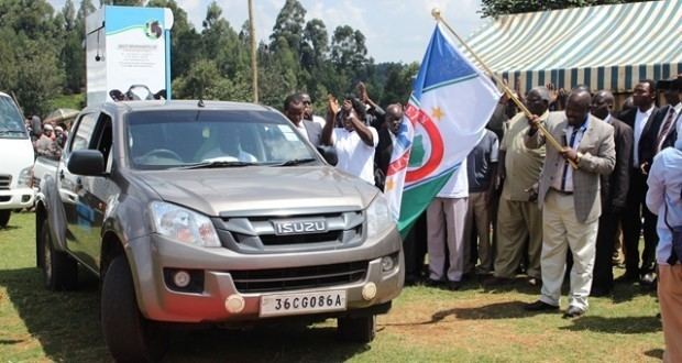 | ||
Doctors union officials attacked in bomet county
County Government of Bomet is a county in the former Rift Valley Province of Kenya it was created from the former Kericho district through Kenya gazette supplement no. 53 of 1992. It has a population of 724,186 and an area of 1,630.0 km2.
Contents
- Doctors union officials attacked in bomet county
- Map of Bomet County Kenya
- Electoral constituencies
- ServicesUrbanisation
- Secondary Schools
- References
Map of Bomet County, Kenya
Electoral constituencies
The county has five electoral constituencies:
Services/Urbanisation
Source: USAid Kenya
Secondary Schools
References
Bomet County Wikipedia(Text) CC BY-SA