
Municipality Rakovski Elevation 167 m Local time Monday 2:25 PM | Time zone EET (UTC+2) Area 26,531 km² Area code 03157 | |
 | ||
Weather 16°C, Wind NW at 14 km/h, 53% Humidity | ||
Bolyarino is a village in Southern Bulgaria. It is located in Rakovski Municipality, Plovdiv Province.
Contents
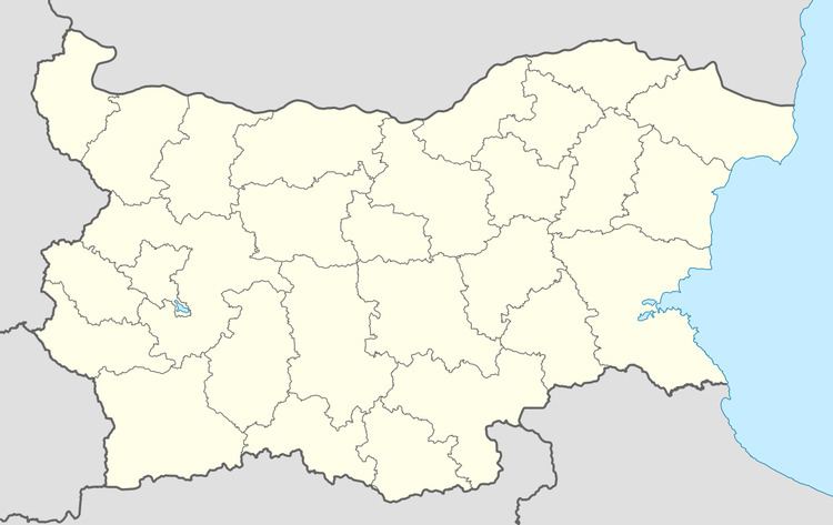
Map of 4132 Bolyarino, Bulgaria
Geography
Bolyarino is located in Rakovski Municipality, Plovdiv Province on 35 km. east from Plovdiv. It lies between two elongated hills (height: 213 m). The soil in the northwest parts is sandy, as the rest is Chernozem.The elevation is 167 m.
Natural and cultural monuments
The forest situated between Shishmantsi and Bolyarino is declared as protected territory, in order to preserve the location of very rare birds, such as little egret, squacco heron, black-crowned night heron, glossy ibis.
Annual events
The village festival is on Dimitrovden – 26 October.
References
Bolyarino Wikipedia(Text) CC BY-SA