
Coat of arms Flag Area 2,220 km² | Rural localities 62 Founded 1924 | |
 | ||
Municipally incorporated as | ||
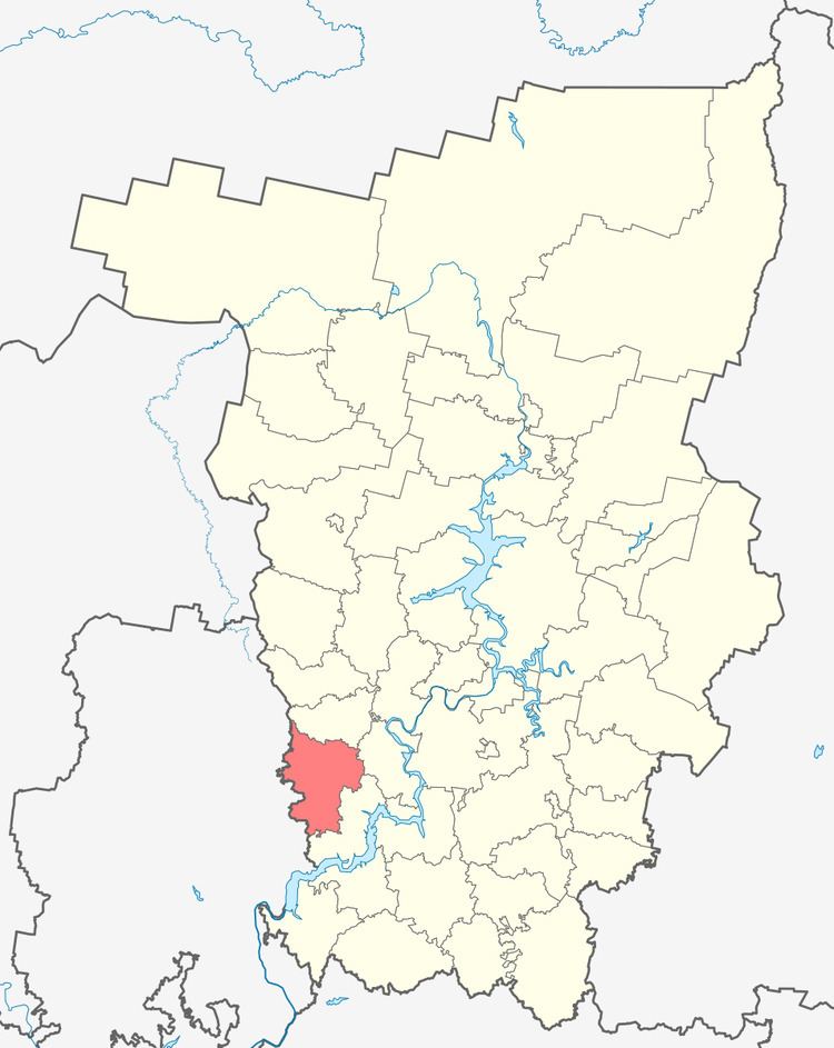
Bolshesosnovsky District (Russian: Большесосно́вский райо́н) is an administrative district (raion) of Perm Krai, Russia; one of the thirty-three in the krai. Municipally, it is incorporated as Bolshesosnovsky Municipal District. It is located in the southwest of the krai. The area of the district is 2,220 square kilometers (860 sq mi). Its administrative center is the rural locality (a selo) of Bolshaya Sosnova. Population: 13,215 (2010 Census); 15,295 (2002 Census); 16,955 (1989 Census). The population of Bolshaya Sosnova accounts for 33.5% of the district's total population.
Contents
Map of Bolshesosnovskiy r-n, Permskiy Kray, Russia
Geography
The main rivers of the district are the Siva with its tributaries the Sosnovka and the Chyornaya. About 32% of the district's territory is covered by forests—one of the lowest rates in the krai.
History
The district was established on March 18, 1924. In 1963, the district was abolished and split between Chastinsky and Ochyorsky Districts. In December 1968, the district was restored.
Economy
The economy of the district is based on agriculture, which accounts for about 81% of the total district's GDP.
Demographics
The most numerous ethnic groups, according to the 2002 Census, include Russians at 92.9%, Udmurts at 2.4%, and Tatars at 1.3%.