
Administrative center selo of Chastye Urban settlements 0 Founded 13 January 1924 | Rural localities 54 Area 1,632 km² | |
 | ||
Municipally incorporated as | ||
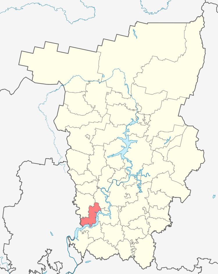
Chastinsky District (Russian: Частинский райо́н) is an administrative district (raion) of Perm Krai, Russia; one of the thirty-three in the krai. Municipally, it is incorporated as Chastinsky Municipal District. It is located in the southwest of the krai. The area of the district is 1,632 square kilometers (630 sq mi). Its administrative center is the rural locality (a selo) of Chastye. Population: 12,817 (2010 Census); 14,675 (2002 Census); 14,791 (1989 Census). The population of Chastye accounts for 37.9% of the district's total population.
Contents
- Map of Chastinskiy r n Permskiy Kray Russia
- Geography and climate
- History
- Demographics
- Economy
- References
Map of Chastinskiy r-n, Permskiy Kray, Russia
Geography and climate
About 34% of the district's area is forested; the forests are mostly coniferous. Natural resources include oil and peat. Climate is temperate continental.
History
The district was established on January 13, 1924, although its borders kept changing until December 30, 1968. In 1931–1935, the district was merged into Osinsky District.
Demographics
As of the 2002 Census, Russians, at 96.4%, are the dominant ethnicity in the district.
Economy
The economy of the district is mainly agricultural.