
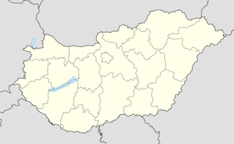
Time zone CET (UTC+1) Area 28.34 km² Local time Monday 9:36 AM | County Borsod-Abaúj-Zemplén Postal code 3794 Population 2,471 (2004) Area code 46 | |
 | ||
Weather 8°C, Wind SW at 5 km/h, 80% Humidity | ||
History
The village got its name from the river Bódva. The vicinity had been a settled place since ancient times in the Neolithic, Bronze age and Iron age. Written documents mention the village from the 13th century as Boldua.
Between 1175 and 1180 the Ordo Saint Benedict built a monastery at Boldva. The monastery church was erected to Saint John the Baptist. At the same time a rotunda was used by the village people. The ruins of this rotunda were excavated in the 1980s, during the renovation of the Árpád age church.
A famous codex, the so-called Pray codex, The Sacramentarium Bolvense contains one of the oldest Hungarian text: The Speech at the Funeral. During the second Mongolian invasion at 1285 the building was destroyed and burned. The monks escaped to the Somogyvár Abbey. Later, during the Türkish wars, the church was renewed and reformed.
Sightseeings
Neighbour villages
Sajóecseg (5 km), Sajósenye (6 km), Ziliz (3 km), and the town of Edelény and Sajószentpéter also ca. 10 km.