
Capital Ciudad Bolívar Time zone UTC-04:30 | Created 1901 Area rank 1st | |
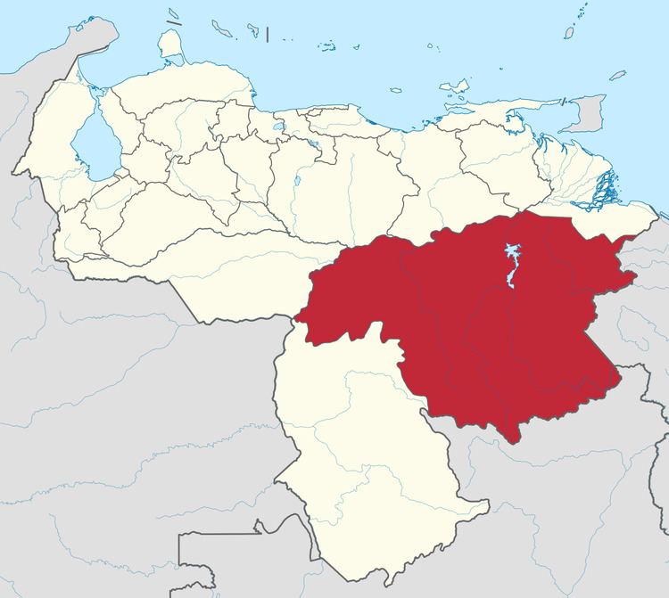 | ||
Bolívar (Spanish: Estado Bolívar, [esˈtaðo βoˈliβar]), is one of the 23 states (estados) into which Venezuela is divided. The state capital city is Ciudad Bolívar. Bolívar State covers a total surface area of 240,500 km² and as of the 2011 census, had a population of 1,410,964.
Contents
Map of Bol%C3%ADvar, Venezuela
History
The territory covered by present-day Bolívar was previously part of the Guayana Province, a Province of the Spanish Empire (from 1585) and later of Venezuela (until 1864, when the Provinces of Venezuela were replaced by the States of Venezuela, following the Federal War).
Places of interest
Municipalities
Bolívar State is sub-divided into eleven municipalities (municipios), given below with their administrative centres, areas and populations:
Race and ethnicity
According to the 2011 Census, the racial composition of the population was: