
Constituted November 17, 1920 Postal code(s) J9E 3A9 Area 74.2 km² Local time Monday 1:17 AM Area code 819 | Time zone EST (UTC−5) Website www.bois-franc.ca Population 447 (2011) Province Québec RCM Outaouais | |
 | ||
Weather -12°C, Wind NW at 3 km/h, 70% Humidity | ||
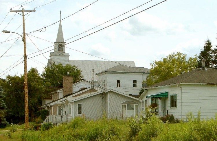
Bois-Franc is a municipality in the La Vallée-de-la-Gatineau Regional County Municipality, Quebec, Canada, 15 kilometres (9.3 mi) north of Maniwaki. Its territory is along the western shores of the upper Gatineau River.
Contents
Map of Bois-Franc, QC, Canada
The adjective franc has its origin in the western regions of France and means excellent, good, strong, solid, hard. Therefore the name Bois-Franc can be translated as "hardwood" and is a reference to magnificent stands of hardwoods found within the municipality, including beech, ash, maple and birch.
History
Its first European settlers came in 1870. Its post office, named Bois-Franc, opened in 1886. In 1920, the Municipality of Bois-Franc was founded when it separated from the Egan Municipality Township.
Economy
Its primary industry is logging and forestry. Industrial Park "Réjean Lafrenière" is home to the oriented strand board factory Louisiana-Pacific Canada ltd. Division Quebec; one of the largest plants of its kind in North America.
Demographics
Population trend:
Private dwellings (occupied by usual residents): 196
Languages: