
Postcode(s) 3490 Postal code 3490 | Local time Monday 5:09 PM | |
 | ||
Location 496 km (308 mi) from Melbourne174 km (108 mi) from Mildura8 km (5 mi) from Linga4 km (2 mi) from Tutye Weather 31°C, Wind SE at 14 km/h, 22% Humidity | ||
Boinka is a locality situated on the section of the Mallee Highway and Pinnaroo railway line between Ouyen and the South Australian border in the Sunraysia region of Victoria, Australia. Boinka is situated approximately 4 kilometres east from Tutye and 8 kilometres west from Linga.
Contents
Map of Boinka VIC 3490, Australia
The name Boinka means "flat black beetle" in the language of the indigenous people of Lake Hindmarsh.
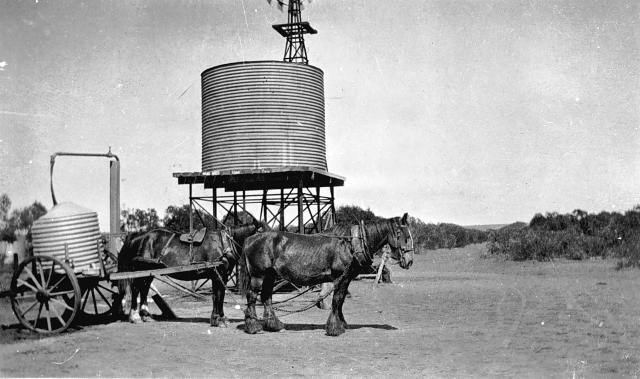
The location has a rich history of settlement and is the subject of a photograph collection within the archives of the Museum of Victoria. The Boinka State School (No 3800) is listed as a part of Heritage Victoria - owned by the Crown Reserve and managed by Rural City Council of Mildura. The township was established in the early 1910s, and the Post Office opened on 15 July 1912 when a regular mail service was provided by the opening of the railway from Ouyen to Murrayville a month earlier. The office closed in 1975. The railway station closed a year later, on 30 June 1976.
Unique facts
Boinka is listed within the Victorian Flora and Fauna Guarantee Act of 1988 as being one of only two places where Pale Myoporum (Myoporum brevipes Benth.), a recumbent or erect shrub of up to 2 metres in height (widespread in South Australia), is known to grow indigenously outside of that location.