
Population 626 (2011 census) Postal code 2409 | Postcode(s) 2409 Local time Monday 1:16 PM | |
 | ||
Location 703 km (437 mi) NW of Sydney357 km (222 mi) SW of Brisbane115 km (71 mi) NE of Moree9 km (6 mi) SE of Goondiwindi Weather 32°C, Wind S at 19 km/h, 31% Humidity | ||
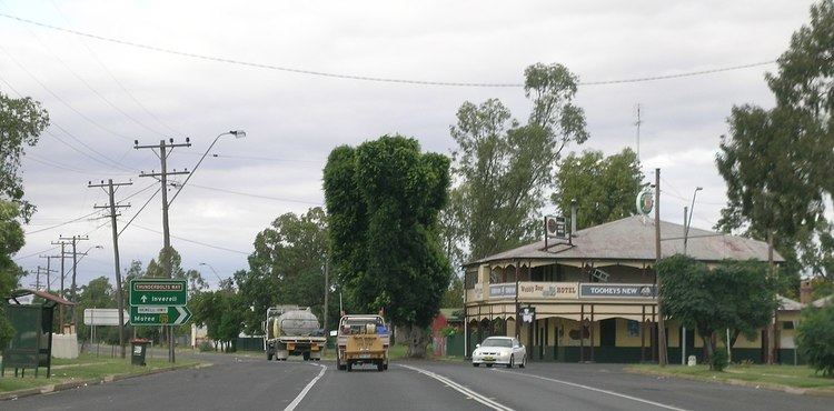
Boggabilla /ˈbɒɡəbɪlə/ is a small town in the far north of inland New South Wales, Australia in Moree Plains Shire. At the 2011 census, the town had a population of 626, of which 58% identified as Aboriginal or Torres Strait Islander descent.
Contents
Map of Boggabilla NSW 2409, Australia
The name Boggabilla comes from Gamilaraay bagaaybila, literally "full of creeks". The same "creek" element is found in the name of Boggabri.
Geography
Boggabilla is located on the Newell Highway north of Moree. Toomelah Station is within the locality and the town of Goondiwindi is nearby, across the border in Queensland.
Transport
Boggabilla used to have a railway service, but this has been cut back to North Star, New South Wales where the last silo is located. There is also an airport and shuttle services to Sydney from Moree located 110 km south of Boggabilla. Daily bus services run both north and south.
Health
The nurses at Boggabilla Health Centre provide services such as preschool screening and immunisation. There have been concerns about the health consequences of high levels of violence.
Education
Boggabilla has a school (Boggabilla Central School with Prep, Primary & Secondary) and a TAFE (a campus of New England Institute of TAFE).