
Traversed by asphalted road Elevation 1,373 m | Province Province of Biella | |
 | ||
Similar Oasi Zegna, Monte Bo, Biellese Alps, Brughiera sanctuary, Sacro Monte di Andorno | ||
Bocchetto sessera e bielmonte
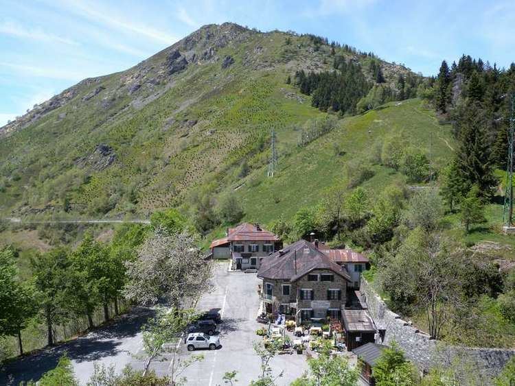
Bocchetto Sessera or Bocchetto di Sessera is a mountain pass (el. 1,373 m) across the Alpi Biellesi. It connects Strona di Mosso Valley and Valsessera, both in the province of Biella (Piemonte, Italy) .
Contents
- Bocchetto sessera e bielmonte
- Map of Bocchetto Sessera 13811 Tavigliano Province of Biella Italy
- Escursione in mtb bocchetto sessera mera
- EtymologyEdit
- GeographyEdit
- AccessEdit
- MapsEdit
- References
Map of Bocchetto Sessera, 13811 Tavigliano, Province of Biella, Italy
Escursione in mtb bocchetto sessera mera
EtymologyEdit
In the local dialect bochet means mountain pass, while Sessera is the name of the river which flows in the Sessera Valley.
GeographyEdit
The pass is located between Monticchio (1,697 m, W) and monte Marca (1,558 m, E). It belongs to the water divide between the drainage basins of Cervo and Sessera.
AccessEdit
Bocchetto di Sassera can be accessed by car from Campiglia Cervo or from Trivero by the former national road Strada statale 232 Panoramica Zegna. From the pass start some forestry roads which deserve the middle section of Sessera Valley. Some of these dirt roads by winter are used as cross-country skiing paths.