
River mouth Sesia323 m (1,060 ft) Length 35 km | Basin size 189 km (73 sq mi) Basin area 489.5 km² | |
 | ||
Tributaries Left:torrente Dolca, riale del Cavallero, torrente Strona di PostuaRight:torrente Ponzone Discharge Average rate:(mouth) 7.5 m/s (260 cu ft/s) | ||
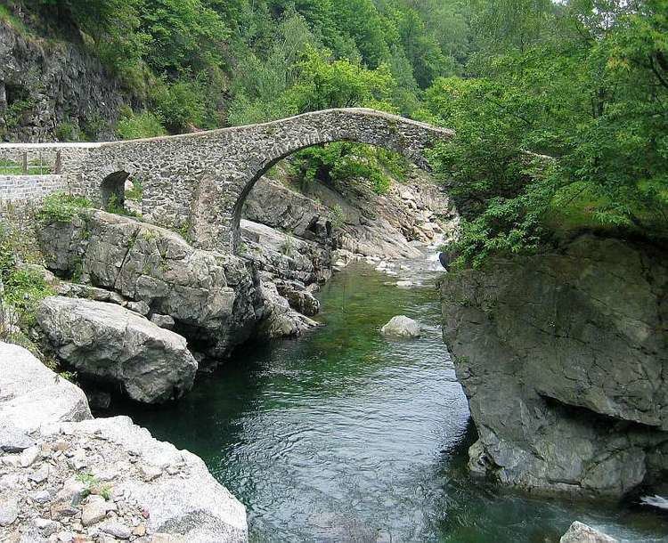
The Sessera (Piedmontese: Séssera) is a 35.5 kilometres (22.1 mi) long torrent in the Piedmont region - NW Italy.
Contents
Map of Torrente S%C3%A8ssera, Italy
GeographyEdit
The Sessera starts in the Biellese Alps on the south-eastern slopes of Monte Bo. It initially flows from NW to SE and then encircles the Cima dell'Asnas and forms the artificial lake of Mischie, where it meets its first important tributary, the torrente Dolca (Dolca creek).
With several meanders the Sessera reaches Coggiola and the inhabited part of its valley. After having received two other relevant tributaries, the Ponzone in Pray from right and the Strona di Postua in Crevacuore from left, it enters into the Valsesia and flows into the river Sesia near Borgosesia.
FloodsEdit
The river caused severe destruction in 1968 along the Sessera Valley.
Other projectsEdit
Media related to Sessera at Wikimedia Commons