
Area 96.68 km² | Time zone BST (UTC+6) | |
 | ||
Website bangladesh.gov.bd/maps/images/rajshahi/Boalia.gif | ||
Boalia (Bengali: বোয়ালিয়া) is an Thana of metropolitan Rajshahi in Rajshahi Division, Bangladesh.
Contents
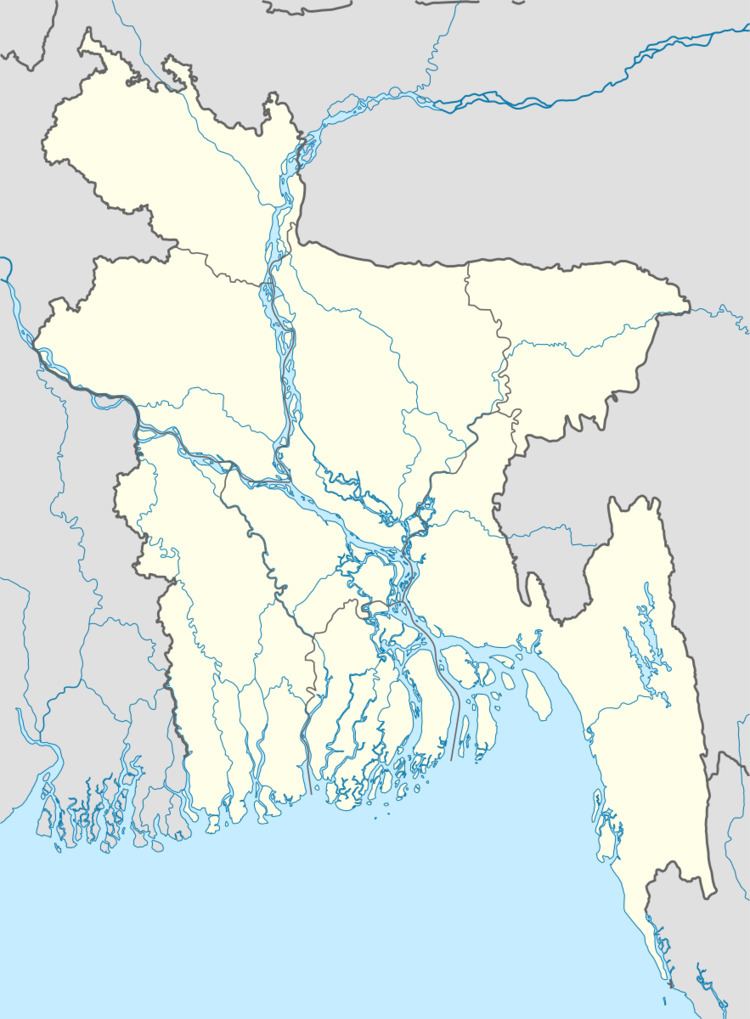
Map of Boalia Thana, Bangladesh
Geography
Boalia is located at 24.3694°N 88.6042°E / 24.3694; 88.6042 . It has 51063 households and total area 96.68 km².
Demographics
As of 1991 Bangladesh census, Boalia has a population of 294056. Males constitute 52.53% of the population, and females 47.47%. This Upazila's eighteen up population is 165335. Boalia has an average literacy rate of 58.3% (7+ years), and the national average of 32.4% literate.
Administration
Boalia Thana has 19 Unions/Wards and 82 Mauzas/Mahallas.
References
Boalia Thana Wikipedia(Text) CC BY-SA