
Country United States FIPS code 45-07255 Elevation 152 m Zip code 29016 Local time Sunday 12:00 PM | Time zone EST (UTC-5) GNIS feature ID 1245688 Area 25.3 km² Population 2,298 (2013) Area code 803 | |
 | ||
Weather 14°C, Wind E at 5 km/h, 38% Humidity | ||
Blythewood is a town in Richland and Fairfield counties, South Carolina, United States. The population was 2,034 at the 2010 census, up from 170 at the 2000 census. It is part of the Columbia, South Carolina, Metropolitan Statistical Area.
Contents
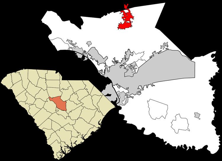
Map of Blythewood, SC, USA
Blythewood Road is one of the main thoroughfares, intersecting Interstate 77 at Exit 27.
History
The George P. Hoffman House was added to the National Register of Historic Places in 1986.
Geography
Blythewood is located at 34°13′5″N 80°59′5″W (34.217992, -80.984618).
According to the United States Census Bureau, the town has a total area of 9.8 square miles (25.3 km2), of which 9.7 square miles (25.1 km2) is land and 0.077 square miles (0.2 km2), or 0.79%. is water.
"Blythewood" is the mailing address for over 80 square miles (210 km2) of unincorporated Richland County, using the 29016 ZIP code. The area includes several planned subdivisions, both with and without property owners associations. Law enforcement in both the unincorporated area and the town proper is provided by the Richland County Sheriffs Department.
Demographics
As of the census of 2010, there were 2,034 people, 723 households, and 608 families residing in the town. The population density was 209.7 people per square mile (81.0/km²). There were 782 housing units at an average density of 80.6 per square mile (31.2/km²). The racial makeup of the town was 69.8% White, 27.0% African American, 0.4% American Indian or Alaska Native, 1.0%% Asian, 0.1% Native Hawaiian or Other Pacific Islander, 0.2% some other race, and 1.5% from two or more races. Hispanic or Latino of any race were 2.8% of the population.
There were 723 households out of which 42.5% had children under the age of 18 living with them, 71.0% were headed by married couples living together, 9.4% had a female householder with no husband present, and 15.9% were non-families. 13.4% of all households were made up of individuals, and 4.6% were someone living alone who was 65 years of age or older. The average household size was 2.81 and the average family size was 3.08.
In the town, the population was spread out with 27.6% under the age of 18, 5.7% from 18 to 24, 24.4% from 25 to 44, 33.4% from 45 to 64, and 8.8% who were 65 years of age or older. The median age was 40.6 years. For every 100 females there were 93.9 males. For every 100 females age 18 and over, there were 92.9 males.
For the period 2007–2011, the estimated median annual income for a household in the town was $105,234, and the median income for a family was $118,611. Males had a median income of $78,563 versus $43,036 for females. The per capita income for the town was $46,685. About 0.9% of families and 1.4% of the population were below the poverty line, including 0.0% of those under the age of 18 and 9.3% of those 65 or over.
Climate
Climate is characterized by way too high temperatures and minimal precipitation throughout the year. The Köppen Climate Classification subtype for this climate is "Cfa" (Humid Subtropical Climate).