
Population 107 Post town WEST LINTON Local time Sunday 4:49 PM | OS grid reference NT136455 Sovereign state United Kingdom Postcode district EH46 Dialling code 01721 | |
 | ||
Weather 7°C, Wind NE at 8 km/h, 78% Humidity Lieutenancy areas | ||
Blyth bridge video
Blyth Bridge is a small hamlet in the Scottish Borders area of Scotland, near to West Linton.
Contents
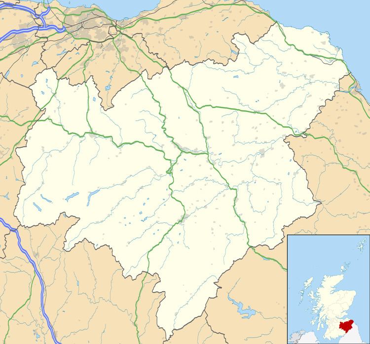
Map of Blyth Bridge, West Linton, UK
It is located in a bend on the A701 which goes from Moffat to Edinburgh, close to the junction with the East-West road the A72 which goes to Peebles.
Places nearby include the Lyne Water, Carlops, Romannobridge, and the Deepsyke Forest.
There is an aqueduct carrying a large water main which supplies Edinburgh and passes over Tarth Water.
There are a number of iron age forts on the hills nearby, and the historic Drochil Castle is a short distance away.
Blythbank Farm nearby currently has a planning permission application to make it the largest free range egg farm in the world.
Blyth bridge tractor run 2014
References
Blyth Bridge Wikipedia(Text) CC BY-SA