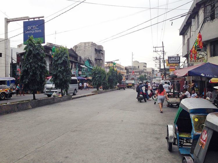
Length 3.5 km | ||
 | ||
Majorjunctions Dimasalang RoadBonifacio AvenueAmoranto StreetLaon Laan RoadEspaña Boulevard East end Gregorio Tuazon Street in Sampaloc | ||
Blumentritt Road is a road in Manila, Philippines. It runs through the border of the City of Manila with Quezon City and Caloocan from Rizal Avenue in Santa Cruz district to Gregorio Tuazon Street (formerly Calle Balic Balic) in Sampaloc district. The road also forms the southern boundary of the Manila North Cemetery. It is named after Bohemian professor and filipinologist, Ferdinand Blumentritt.
Contents
Map of Blumentritt Rd, Manila, Metro Manila, Philippines
The portion of Blumentritt from Rizal Avenue to Dimasalang Road in Santa Cruz was originally named Calle Sangleyes (Spanish for "Chinese merchants street") in reference to its original residents. It passes through the Chinese General Hospital and Medical Center and the Manila North Green Park before turning southeast in Sampaloc. The road intersects with Bonifacio Avenue, Amoranto Street (formerly Calle Retiro), Laon Laan Road and España Boulevard before terminating at G. Tuazon near Galas, Quezon City. It is served by the Blumentritt LRT Station and Blumentritt railway station at Rizal Avenue.
