
Country United States Time zone CST (UTC-6) Area 154.7 km² Local time Sunday 10:07 AM | Established November 6, 1923 Elevation 134 m Population 888 (2010) | |
 | ||
ZIP codes 62611, 62618, 62627, 62691 Weather 14°C, Wind S at 24 km/h, 43% Humidity | ||
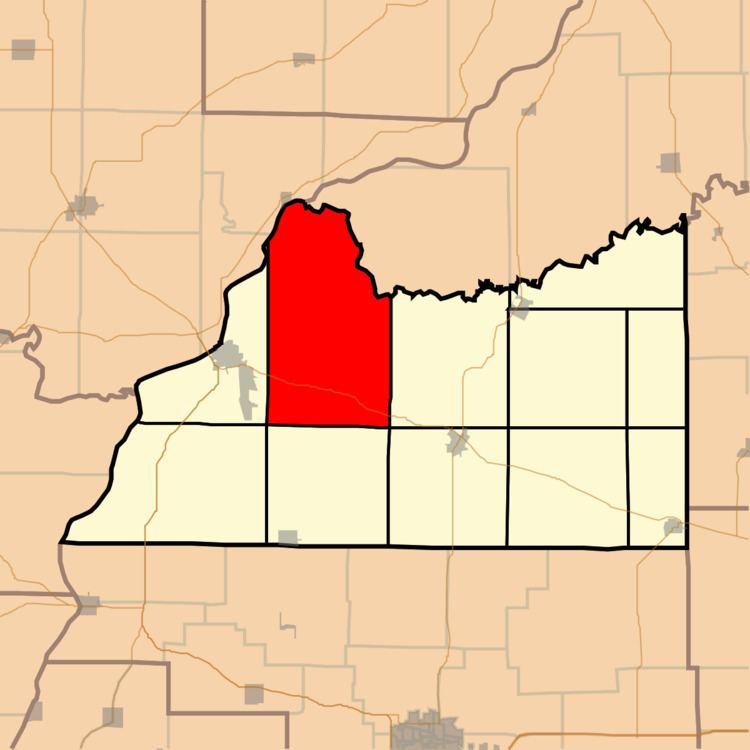
Bluff Springs Township is one of eleven townships in Cass County, Illinois, USA. As of the 2010 census, its population was 888 and it contained 389 housing units.
Contents
- Map of Bluff Springs Township IL USA
- Geography
- Unincorporated towns
- Cemeteries
- Major highways
- Rivers
- Lakes
- School districts
- Political districts
- References
Map of Bluff Springs Township, IL, USA
Geography
According to the 2010 census, the township has a total area of 59.72 square miles (154.7 km2), of which 57.75 square miles (149.6 km2) (or 96.70%) is land and 1.97 square miles (5.1 km2) (or 3.30%) is water.
Unincorporated towns
(This list is based on USGS data and may include former settlements.)
Cemeteries
The township contains these seven cemeteries: Beard, Carr, Dupes, Hager, Lee, McLane and Wells.
Major highways
Rivers
Lakes
School districts
Political districts
References
Bluff Springs Township, Cass County, Illinois Wikipedia(Text) CC BY-SA