
Established 1999 Time zone ACST (UTC+9:30) Founded 1999 | Postcode(s) 5575 State electorate(s) Goyder Postal code 5575 | |
 | ||
Population 1261 (shared with other localities within the “State Suburb of Minalton”) (2011 census) Location 104 km (65 mi) west of Adelaide city centre | ||
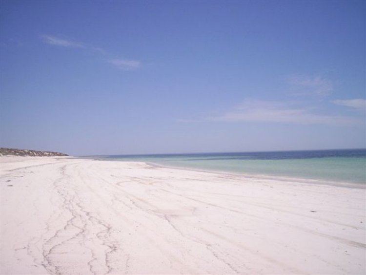
Bluff Beach is a locality in the Australian state of South Australia located on the west coast of Yorke Peninsula overlooking Hardwicke Bay about 104 kilometres (65 mi) west of the Adelaide city centre. Its boundaries were created in May 1999 for the “long established name” and includes the former Bluff Beach Shack Site from which the locality’s name was derived. As of 2015, the majority land use within the locality is agriculture. A secondary land use is conservation which concerns the strip of land immediately adjoining the coastline. A third use of land is residential use along the coastline at the site of the former shack site. Bluff Beach is located within the federal division of Grey, the state electoral district of Goyder and the local government area of the Yorke Peninsula Council.