
Country United States Time zone CST (UTC-6) Elevation 222 m Local time Sunday 6:21 AM | Established November 8, 1859 GNIS feature ID 0428689 Area 165 km² Population 1,480 (2010) | |
 | ||
Weather 2°C, Wind SE at 18 km/h, 78% Humidity | ||
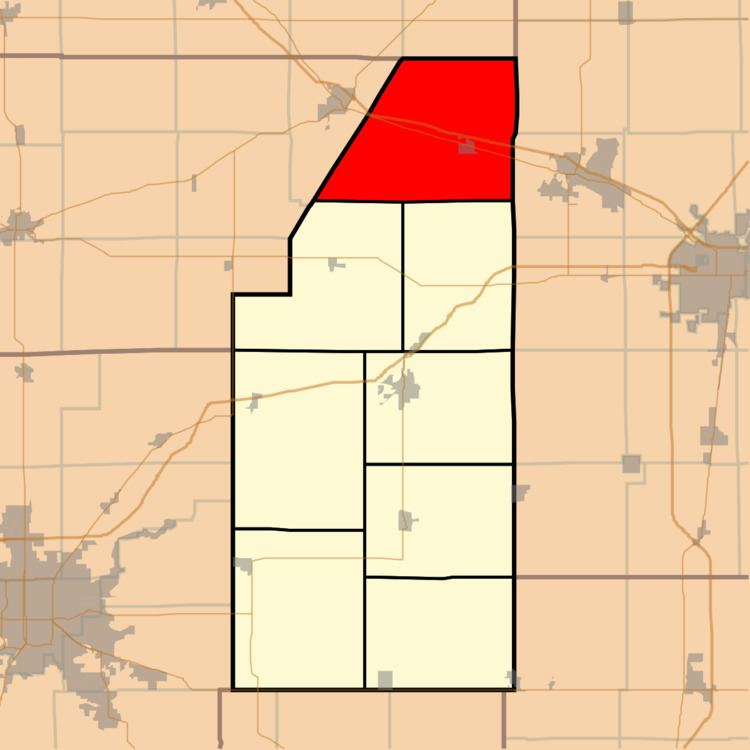
Blue Ridge Township is a township in Piatt County, Illinois, USA. As of the 2010 census, its population was 1,480 and it contained 641 housing units.
Contents
- Map of Blue Ridge Township IL USA
- Geography
- Cities and towns
- Extinct towns
- Adjacent townships
- Cemeteries
- Major highways
- Airports and landing strips
- References
Map of Blue Ridge Township, IL, USA
Geography
According to the 2010 census, the township has a total area of 63.71 square miles (165.0 km2), of which 63.65 square miles (164.9 km2) (or 99.91%) is land and 0.06 square miles (0.16 km2) (or 0.09%) is water.
Cities and towns
Extinct towns
Adjacent townships
Cemeteries
The township contains three cemeteries: Blue Ridge, Dunkard and Mansfield.
Major highways
Airports and landing strips
References
Blue Ridge Township, Piatt County, Illinois Wikipedia(Text) CC BY-SA