
Country United States GNIS feature ID 0429309 Area 86.09 km² Population 12,623 (2010) | Time zone CST (UTC-6) Elevation 214 m Local time Saturday 4:04 AM | |
 | ||
Weather 2°C, Wind W at 26 km/h, 75% Humidity Points of interest Lake of the Woods Forest Pr, Museum of the Grand Prairie, River Bend Forest Preserve, Mabery Gelvin Botanical | ||
Mahomet Township is a township in Champaign County, Illinois, USA. As of the 2010 census, its population was 12,623 and it contained 4,965 housing units.
Contents
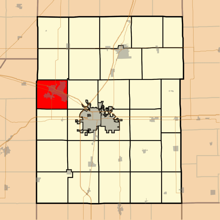
Map of Mahomet Township, IL, USA
History
Mahomet Township formed when Middletown Township split on an unknown date.
Geography
According to the 2010 census, the township has a total area of 33.24 square miles (86.1 km2), of which 32.95 square miles (85.3 km2) (or 99.13%) is land and 0.28 square miles (0.73 km2) (or 0.84%) is water.
Cities and towns
Cemeteries
The township contains eight cemeteries: Bryan, Burris-Hartman, Cain-Shaefer, Mahomet, Phillippe, Porter-Dwan, Riverside and Seymour Methodist Episcopal.
Major highways
References
Mahomet Township, Champaign County, Illinois Wikipedia(Text) CC BY-SA