
Time zone CST (UTC-6) Elevation 222 m Zip code 61842 Population 2,502 (2010) | Established November 2, 1858 GNIS feature ID 0429713 Area 75.34 km² Local time Tuesday 4:36 PM | |
 | ||
Weather 8°C, Wind NW at 19 km/h, 59% Humidity | ||
Santa Anna Township is one of thirteen townships in DeWitt County, Illinois, USA. As of the 2010 census, its population was 2,502 and it contained 1,116 housing units. Its name was changed from Mt. Pleasant Township on June 7, 1859.
Contents
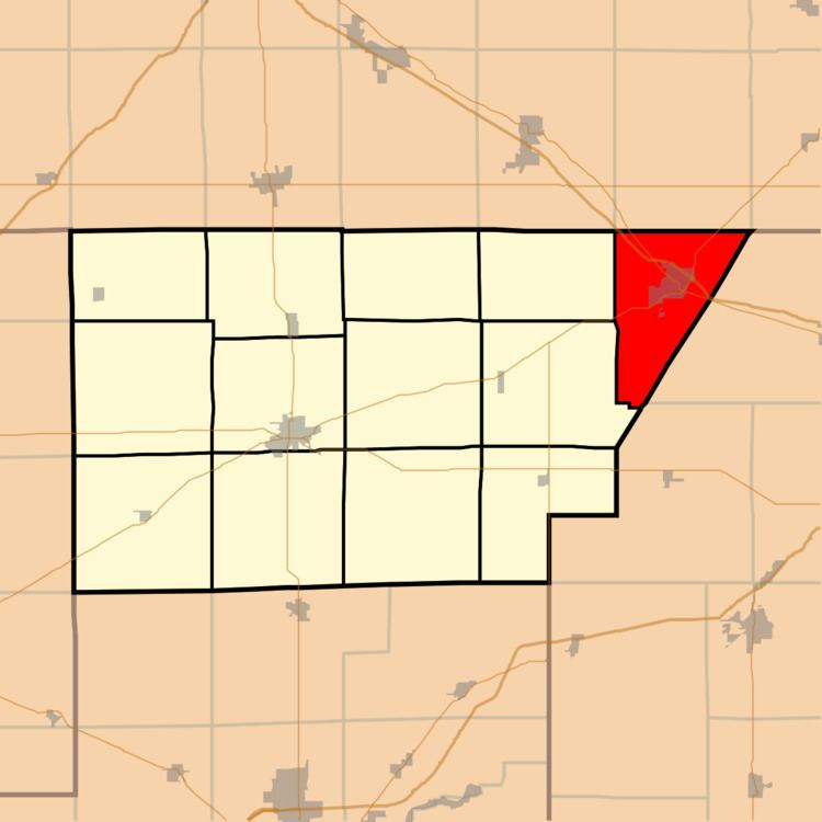
- Map of Santa Anna Township IL USA
- Geography
- Cities towns villages
- Unincorporated towns
- Cemeteries
- School districts
- Political districts
- References
Map of Santa Anna Township, IL, USA
Geography
According to the 2010 census, the township has a total area of 29.09 square miles (75.3 km2), of which 28.96 square miles (75.0 km2) (or 99.55%) is land and 0.13 square miles (0.34 km2) (or 0.45%) is water.
Cities, towns, villages
Unincorporated towns
(This list is based on USGS data and may include former settlements.)
Cemeteries
The township contains these five cemeteries: Campground, Farmer City, Greenleaf, Maple Grove and Saint Josephs Catholic.
School districts
Political districts
References
Santa Anna Township, DeWitt County, Illinois Wikipedia(Text) CC BY-SA