
Length 1.5 km (0.9 mi) | ||
 | ||
Jacuzzi draining 50 blue pool road
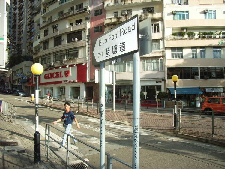
Blue Pool Road is a road linking Happy Valley and Wong Nai Chung Gap on Hong Kong Island, Hong Kong.
Contents
- Jacuzzi draining 50 blue pool road
- Map of Blue Pool Rd Hong Kong
- Location
- History
- Features
- Transport
- References
Map of Blue Pool Rd, Hong Kong
Location
Blue Pool Road is divided into two sections. The first and longest section starts at Wong Nai Chung Road, opposite the southeastern part of Happy Valley Racecourse and continues uphill, until a roundabout at Tai Hang Road. The second section starts Tai Hang Road and continues uphill and ends in a dead end.
History
The now disappeared Wong Nai Chung Village (黃泥涌村) was settled by the Ngs (吳) and Yips (葉), both Hakkas from the mainland, before the British settlement on Hong Kong Island. It was located part-way up the slope that Blue Pool Road follows today and below today's Village Road. Wong Nai Chung Village was replaced with residential buildings in the 1920s, as a consequence of urban development.
The street is named after the former "Blue Pool", a natural feature near the former Wong Nai Chung Village, in which people could bathe until around World War I. The Pool was fed by the Wong Nai Chung river, which then flowed into Victoria Harbour.
During the Battle of Hong Kong, troops of the Hong Kong Volunteer Defence Corps took part in the battle for Wong Nai Chung Gap on December 18–20, 1941, and held several positions, including at Blue Pool Road. On December 22, 1941, a massacre of Chinese civilians by Japanese troops occurred at Blue Pool Road. About 30 civilians were killed at Blue Pool Road during the Battle of Hong Kong.
Features
Blue Pool Road has several steep slopes. It is mainly lined with residential apartments, although there are a number of shops and the odd boutique hotel along the road. Several schools are located in the upper part of the street.
Transport
The lower end of Blue Pool Road is located near the Hong Kong Tramways Happy Valley terminus. Bus routes 1, 1S and 19 also service on the upper end of Blue Pool Road.