
Length 1,800 km | ||
 | ||
Major cities Storuman, Mo i Rana, Lycksele, Petrozavodsk, Vaasa, Umeå, Kuopio, Viitasaari, Joensuu, Lapua, Tohmajärvi | ||
Blue Highway (Norwegian: Blå vegen, Swedish: Blå vägen, Finnish: Sininen tie, Russian: Голубая дорога) is an international tourist route from Norway via Sweden and Finland to Russia.
Contents
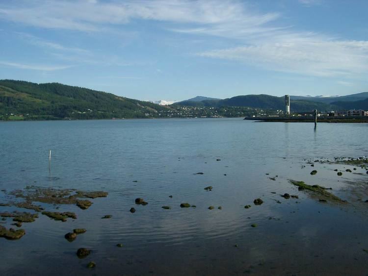
Map of Bl%C3%A5 v%C3%A4gen, Sweden
Sights
The Blue Highway follows the ancient waterways from the Atlantic Ocean to Lake Onega. There are numerous lakes and rivers by the road. Vast areas of taiga forest dominate the landscape, and a section of the Scandinavian Mountains in Norway and western Sweden.
There are rural villages as well as cities and towns by the Blue Highway.
The Development of the Blue Highway
References
Blue Highway (tourist route) Wikipedia(Text) CC BY-SA