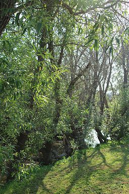
- elevation 71 ft (22 m) | Source English Hill | |
 | ||
Similar Washoe Creek, Windsor Creek, Crane Creek, Brush Creek, Laguna de Santa Rosa | ||
Blucher Creek is a 5.2-mile-long (8.4 km) stream that rises in the hills south of Sebastopol, California, United States, and empties into the Laguna de Santa Rosa.
Contents
Map of Blucher Creek, California, USA
Course
Blucher Creek originates on English Hill, and initially descends to the north. It soon curves eastward to parallel Blucher Valley Road. It crosses under Bloomfield Road, Canfield Road, Lone Pine Road, and Gravenstein Highway (State Route 116) to reach a confluence with the Laguna de Santa Rosa just west of Todd Road.
References
Blucher Creek Wikipedia(Text) CC BY-SA
