
Airport type Public Serves Concordia, Kansas 17/35 3,600 Elevation 453 m Phone +1 785-243-1800 | Owner City of Concordia Elevation AMSL 1,486 ft / 453 m 3,600 1,097 Code CNK | |
 | ||
Address 3015 Blosser Dr, Concordia, KS 66901, USA Similar Concordia Senior Citizens, KNCK, Brome Ridge RV Park, Belleville Municipal Airport, City Hall | ||
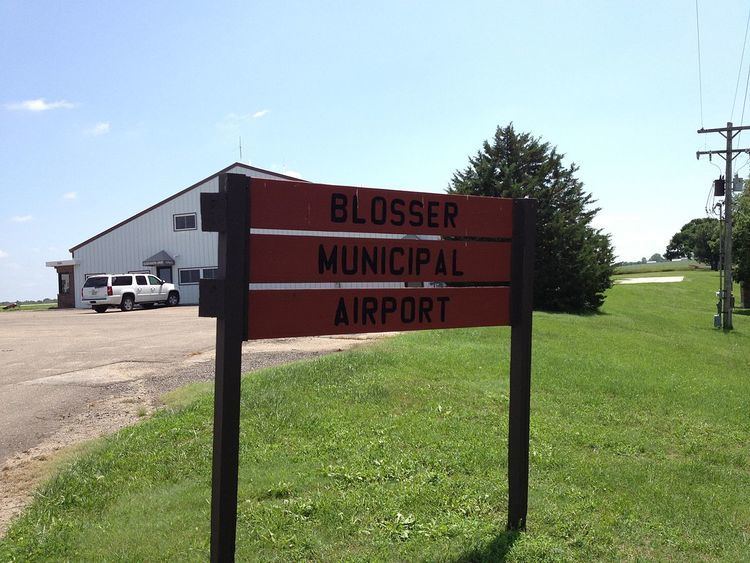
Blosser Municipal Airport (IATA: CNK, ICAO: KCNK, FAA LID: CNK) is two miles south of Concordia, in Cloud County, Kansas. The airport was named after Charles H. Blosser, a longtime Concordia resident, aviation enthusiast, and former city mayor. It is on land originally owned by the Blosser family.
Contents
Facilities
The airport covers 209 acres (85 ha); its one asphalt runway (17/35) is 3,600 x 60 ft (1,097 x 18 m). It has two turf runways: 12/30 is 2,205 x 265 ft (672 x 81 m) and 3/21 is 1,665 x 255 ft (507 x 78 m).
In the year ending July 24, 2007 the airport had 14,550 aircraft operations, average 39 per day: 97% general aviation and 3% military. Nine aircraft were then based at the airport: eight single-engine and one ultralight.
History
The airport's roots are in 1930, when Charlie Blosser laid the first dirt airstrip on his farm. He later donated the land to the city for airport use.