Canton Blagnac Area 16.88 km² | Region Occitanie Local time Saturday 7:53 PM | |
 | ||
Weather 7°C, Wind W at 24 km/h, 67% Humidity Points of interest Aeroscopia, Ailes Anciennes Toulouse, Plaque Commémorative | ||
Blagnac is a commune in the Haute-Garonne department in southwestern France.
Contents
Map of 31700 Blagnac, France
It is the third-largest suburb of the city of Toulouse, although governed by a separate council, and is adjacent to it on the northwest side. It is a member of the Urban community of Greater Toulouse.
Geography
The river Touch forms part of the commune's southern border, then flows into the Garonne, which forms all of its eastern border.
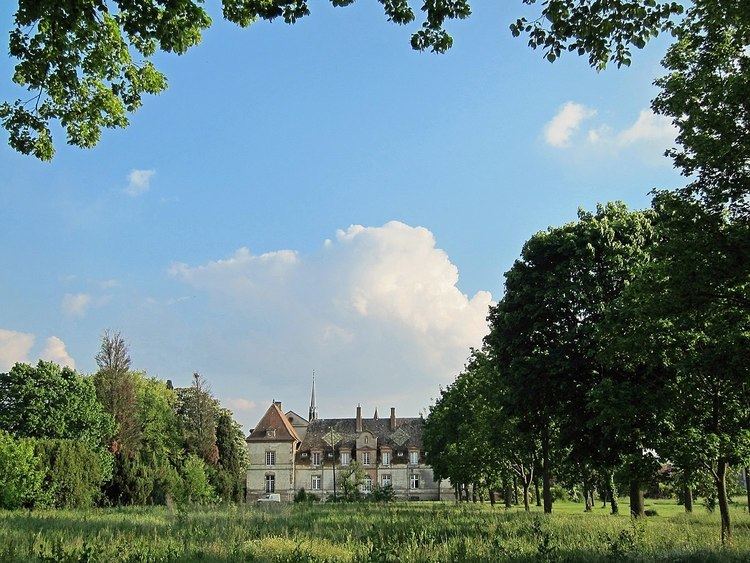
38% percent of the area is made up of green spaces, mainly along the river Garonne and in parks.
Economy
Airbus, Airbus Group and ATR have their head offices in Blagnac.
Education
Blagnac has a student capacity of 5,500 in 7 nurseries (écoles maternelles), 5 primary schools, two high schools/junior high schools (collèges), one sixth form college/senior high school (lycée), and a private school.
Public secondary schools:
The private school is Établissement Le Ferradou, serving primary through senior high.
Transport
Local transport is operated by Tisséo. Buses 70 and 71 run to Jeanne d'Arc (connection with Line B of the Toulouse Metro) and bus 66 runs to St Cyprien République (connection with Line A), both in the city centre. Bus 25 circles the suburb and stops at the Airport, and bus 17 connects Blagnac to Mondonville, toward the northwest. A shuttlebus (navette) connects the Airport to the city centre. A new tramway now operates southwards to the Toulouse Arènes station where it connects with Line A of the Metro.
