
Country Canada Incorporated 1972 Postal code(s) E5H Area 8.9 km² Local time Saturday 1:27 PM Area code 506 | Time zone AST (UTC-4) Highways Route 176 Route 778 Population 982 (2011) Parish Pennfield, New Brunswick | |
 | ||
Weather -12°C, Wind NW at 24 km/h, 41% Humidity | ||
Blacks Harbour (2011 population: 982) is a Canadian village in Charlotte County, New Brunswick.
Contents
Map of Blacks Harbour, NB, Canada
Referred to simply as Blacks by locals, the village is situated on a harbour of the same name opening onto the Bay of Fundy. It is situated 15 kilometres southeast of the town of St. George, 3 kilometres west of the neighbouring community of Beaver Harbour and 56 kilometres east from the town of St. Stephen on Route 176.
Blacks Harbour is the northern terminus for the year-round Blacks Harbour to Grand Manan Island Ferry. This 32 kilometre ferry trip is provided by Coastal Transport Limited and operated to the port of North Head on Grand Manan Island.
History
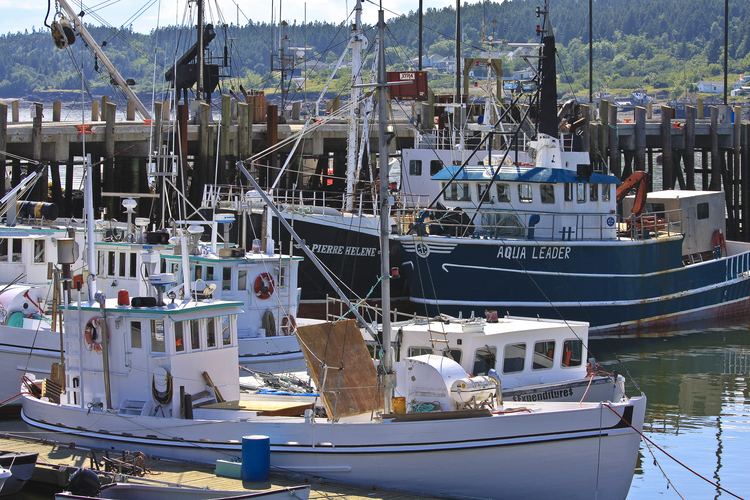
Fishing has been a vital part of its existence for over two hundred years. Connors Brothers Limited was founded in 1885 at Blacks Harbour, now a major international processor of all types of seafood. The company is also a major New Brunswick employer.
Communities
The following locations reside within the village boundaries: