
Topo map NTC 92J/02 Elevation 2,436 m Province British Columbia | Easiest route class 3 Prominence 86 m Mountain range Fitzsimmons Range | |
 | ||
First ascenders Phyllis Munday, Don Munday Similar Whistler Mountain, The Black Tusk, The Spearhead, Castle Towers Mountain, Cinder Cone | ||
Whistler blackcomb peak 2 peak gondola 2011 03 20
Blackcomb Peak is a mountain located east of Whistler, British Columbia and forms the boundary between the Whistler Blackcomb ski resort and Garibaldi Provincial Park. Like Whistler Mountain, it is located on the edge of Garibaldi Provincial Park and the ski lifts are often used to access the park, particularly for the Spearhead Traverse.
Contents
- Whistler blackcomb peak 2 peak gondola 2011 03 20
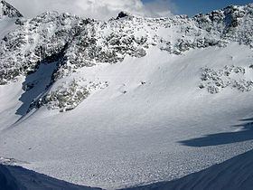
- Map of Blackcomb Peak Whistler BC Canada
- Whistler blackcomb peak to peak gondola ride and olympic venue whistler canada
- References
Map of Blackcomb Peak, Whistler, BC, Canada
Several skiing runs are established on the mountain, with Whistler Village at the base of the mountain on the side facing Whistler Mountain, and Blackcomb Village on the face opposite. The 2010 Winter Olympics sliding sports took place on its slopes, with the Whistler Sliding Centre located on it.
Whistler blackcomb peak to peak gondola ride and olympic venue whistler canada
References
Blackcomb Peak Wikipedia(Text) CC BY-SA