Area 298 km² | ||
 | ||
Managing authorities Address Lyndhurst QLD 4871, Australia Management Queensland Parks and Wildlife Service | ||
Feral pigs at blackbraes national park in queensland
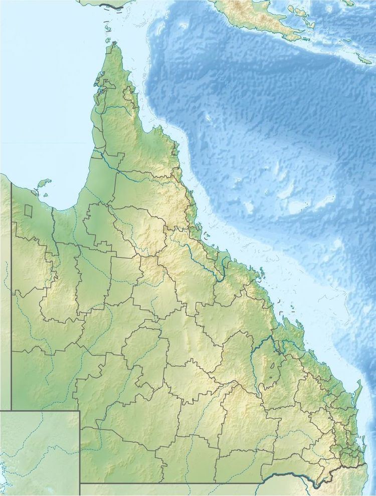
Blackbraes is a national park in the Shire of Etheridge of Far North Queensland, Australia, 1265 km northwest of Brisbane, 170 km north of Hughenden, and 280 km west of Townsville. Two small sections are also located in the local government areas of Shire of Flinders, considered part of North West Queensland and Charters Towers Region which is part of North Queensland. The park occupies a majority of the southern portion of Lyndhurst but also the localities of Porcupine and Basalt.
The national park includes parts of the Einasleigh Uplands and the Gulf Plains bioregions. The predominate vegetation type is ironbark woodlands. The highest point of the Gregory Range is found within the park. The Gilbert-Einasleigh Rivers rise in the park.
Camping near Emu Swamp is permitted from March to November when it is mostly dry.
