
Population 1,821 (2010) Area 41,538 km² | Established 1882 State electorate(s) Mount Isa Website Shire of Flinders Mayor Brendan McNamara | |
 | ||
Hours Open today · 2–6PMSunday2–6PMMonday6–10AM, 12–7PMTuesday6–10AM, 12–7PMWednesday6–10AM, 12–5PMThursday6–9AM, 12–7PMFriday6–11AM, 1:30–7PMSaturday12–6PMSuggest an edit Similar Flinders Discovery Centre, Royal Hotel, Great Western Hotel Motel, Hughend Allen Terry Caravan, Rest Easi Motel Profiles | ||
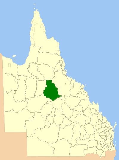
The Shire of Flinders is a local government area in north-western Queensland, Australia.
Contents
It covers an area of 41,538.5 square kilometres (16,038.1 sq mi), and has existed as a local government entity since 1882. The Shire, named for the Flinders River, is predominantly a grazing area with cattle in the north of the shire and mixed grazing to the south in the black soil area.
History
The Hughenden Division was established on 20 July 1882 under the Divisional Boards Act 1879. On 20 April 1887, the Borough of Hughenden was constituted separately as a municipality for the emerging town of Hughenden.
On 31 March 1903, the Hughenden Division became the Shire of Hughenden and the Borough of Hughenden became the Town of Hughenden under the Local Authorities Act 1902. On 5 September of the same year, the Shire of Hughenden was renamed Shire of Flinders.
The western part of the Shire was separately incorporated as the Shire of Wyangarie (later Shire of Richmond) on 23 October 1915. On 1 January 1930, part of the Shire of Flinders was annexed to the Shire of Dalrymple.
In 1958, the Town of Hughenden amalgamated with the Shire of Flinders.
Towns and localities
The Shire of Flinders includes the following settlements: