
 | ||
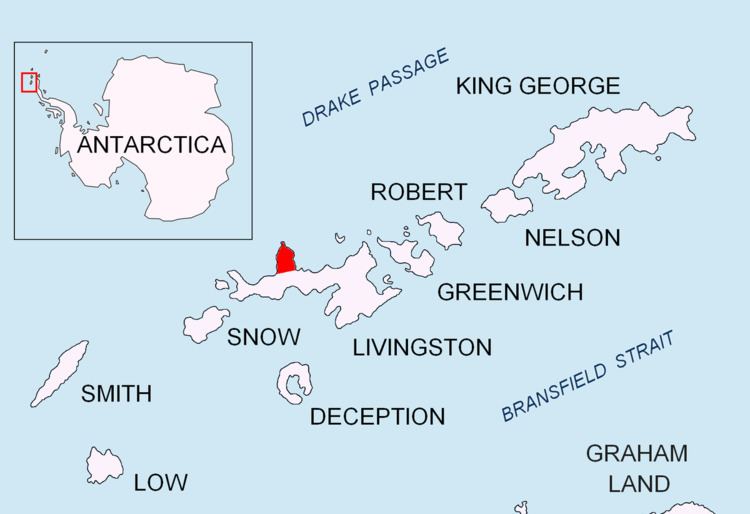
Black Point is a rocky promontory of 38 hectares (94 acres) projecting 800 m northwards from the northeast coast of Ioannes Paulus II Peninsula into Hero Bay, Livingston Island in the South Shetland Islands, Antarctica to form the east side of the entrance to Porlier Bay. The area was visited by early 19th century sealers.
Contents
The name of the point is a descriptive one.
Location
The point is located at 62°29′09.7″S 60°42′57.6″W which is 4.8 km southeast of Cape Shirreff, 18.3 km west-southwest of Desolation Island, 15.88 km west-northwest of Siddins Point, 10 km north-northwest of Avitohol Point, 6.3 km north by west of Agüero Point and 3 km north by wast of Sandanski Point. British mapping in 1968, Chilean in 1971, Argentine in 1980, Spanish in 1991, and Bulgarian in 2005 and 2009.